Topographical maps


Nordgeo Surveys provides advanced topographical mapping services, ensuring highly accurate terrain data for diverse applications. This technology enables the precise mapping of land features, infrastructure, and natural formations with great detail and efficiency.

By utilizing advanced surveying techniques, including LiDAR and photogrammetry, we create comprehensive topographical models for analysis and planning. Our solutions help streamline workflows, enhance project accuracy, and improve decision-making across various industries.

High-Precision Topographical Maps for Accurate Land Surveys

Partner with Nordgeo Surveys for cutting-edge topographical mapping services and experience the future of land surveying. Our expertise and innovative approach ensure precise, reliable results for every project.

Your project - our precision

What do we offer?

High-precision elevation models for land development, construction, and environmental planning

Accurate mapping of roads, buildings, and utility networks for urban planning and asset management

Analysis of landforms, drainage patterns, and geological features to support sustainable development

Identification of flood-prone areas and hydrological modeling for effective water management

Precise elevation data for site preparation, grading, and structural planning

Why choose us?

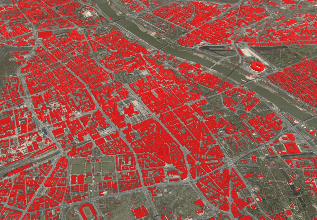
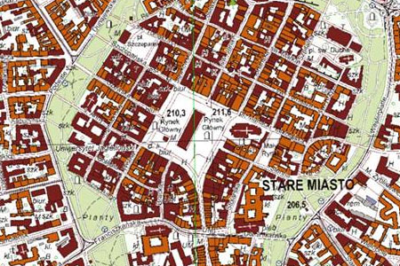
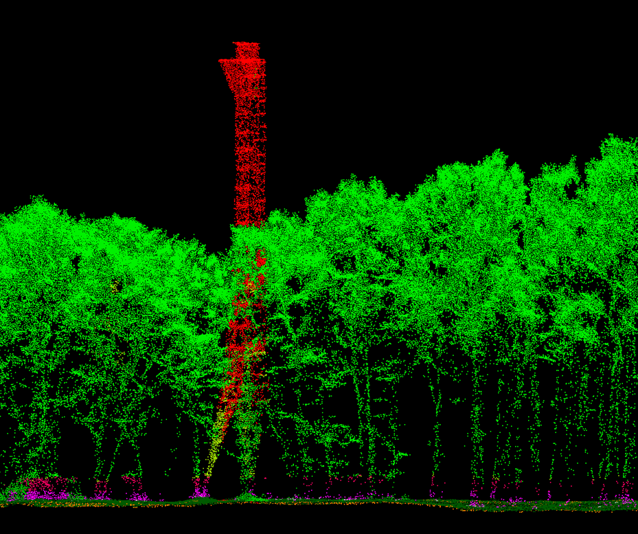
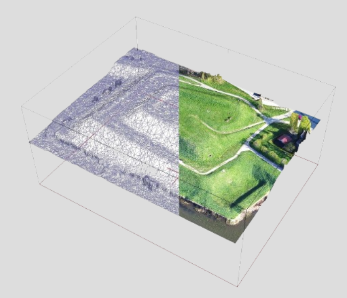
Our advanced mapping technology ensures highly detailed and accurate topographical data

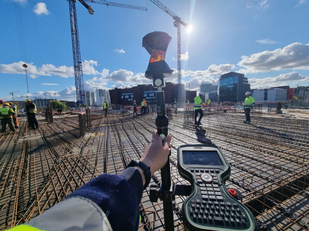
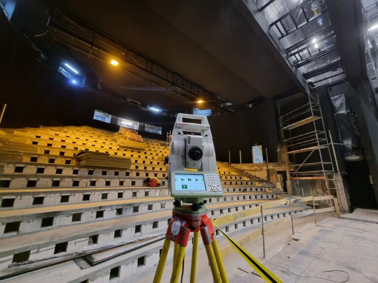
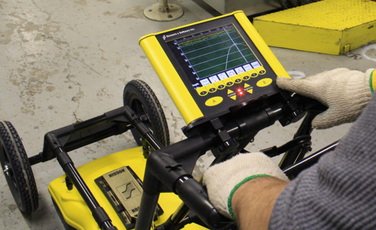
Fast data acquisition reduces fieldwork time while maintaining superior quality

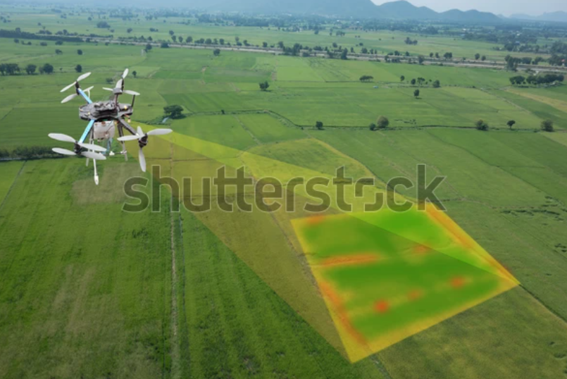
Suitable for urban planning, construction, environmental studies, and land management

Other services

Construction Sites Handling

Civil

Engineering

3D Laser Scanning

Photogrametry