Multispectral Imaging
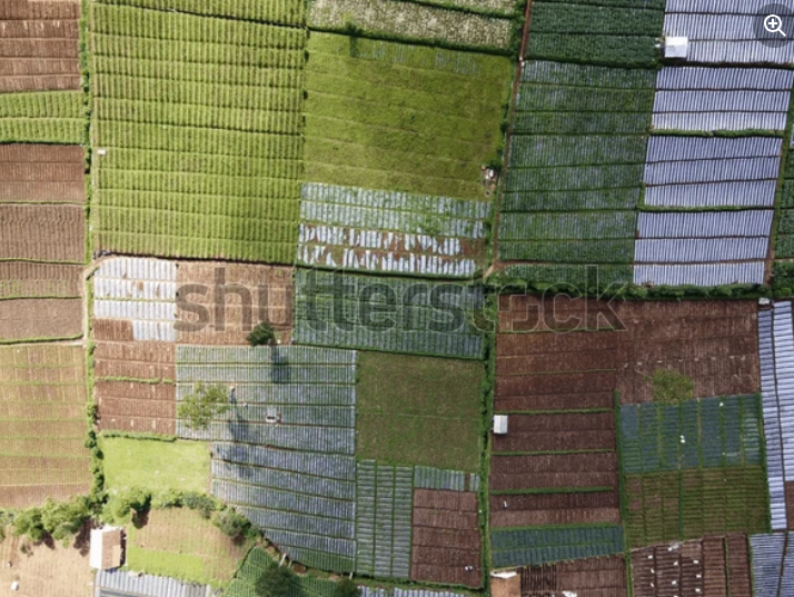
Unlock the full potential of your agricultural, forestry, or environmental projects with Nordgeo's Multispectral Drone Mapping.
Using cutting-edge sensors capturing visible, near-IR, red-edge, and more, we deliver high-resolution, multispectral imagery to detect plant health issues—such as stress, disease, or nutrient deficiencies—long before they’re visible to the naked eye.
Typical Applications
Agriculture: Monitor crop development, vegetative health, irrigation needs, and pests – ideal for cereals, row crops, vineyards, orchards, and more.
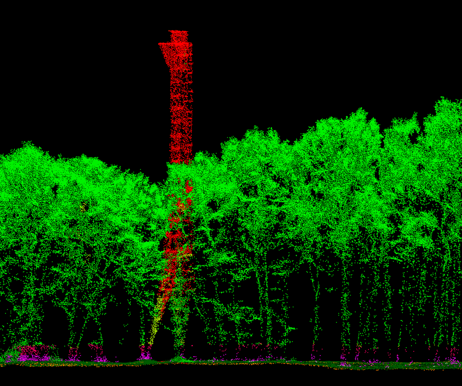
Forestry & ecology: estimate tree density, species differences, canopy health, and biomass. Also supports tracking reforestation, deforestation, and environmental change.
Environmental monitoring: used for wetland evaluation, erosion control, and water quality surveillance.
Your project - our precision
What do we offer?
- Multispectral Orthomosaics
- Vegetation Indices (NDVI, NDRE, etc.)
- Variable Rate Application (VRT) Maps
- Canopy and Biomass Analysis
- Environmental Monitoring
- Expert Reports and Consulting
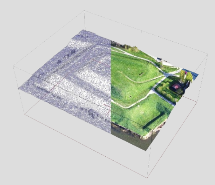
We create high-resolution aerial maps combining multiple spectral bands, offering a detailed view of vegetation health and land condition
We calculate key vegetation indices to assess crop vigor, detect stress, and monitor plant growth dynamics over time
We generate prescription maps that help optimize the use of fertilizers and pesticides, reducing costs and environmental impact
We evaluate crop and forest canopy density to estimate biomass and predict yields more accurately
We assess water stress, detect soil erosion, and support land classification for better environmental planning and conservation
We provide clear, actionable reports with expert insights to help you interpret the data and make informed decisions
Why choose us?
- Early detection for better results
- Data-driven precision
- Experienced drone operators
- Wide range of applications
- Fast and flexible deployment
- Actionable results
Identify plant health issues before symptoms appear, enabling timely interventions and improved yields
Use accurate geospatial data to apply water, fertilisers, and pesticides exactly where needed—reducing waste and environmental impac
Our certified team uses the latest UAV technology equipped with calibrated multispectral sensors and sunlight correction systems for consistent result
From agriculture to forestry and environmental management – multispectral surveys adapt to a variety of projects and industries
Cover large areas quickly with real-time streaming and next-day survey capabilitie
We don’t just deliver raw data—we offer clear, interpreted outputs to guide smarter decisions in the field
Other services
Copyright 2024 | NORDGEO Surveys | All Rights Reserved

