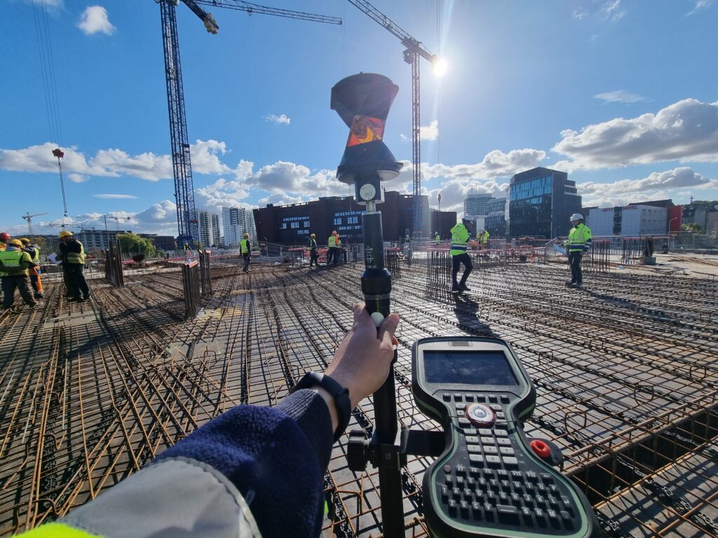
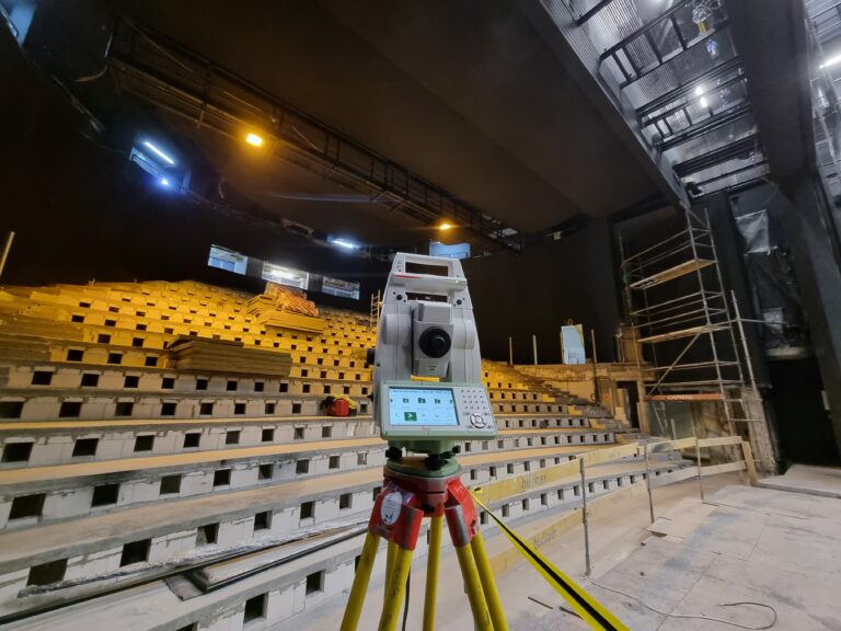
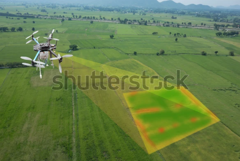
We provide advanced photogrammetry services, ensuring highly accurate spatial data for diverse applications. This technology enables precise digital models of buildings, infrastructure, industrial sites, and heritage structures with great detail and efficiency.
By utilizing high-resolution aerial and ground-based imagery, we create comprehensive 3D reconstructions for analysis and planning. Our solutions help streamline workflows, reduce costs, and improve decision-making across various industries.
Partner with Nordgeo Surveys for cutting-edge photogrammetry services and experience the future of geospatial data collection.
Our expertise and innovative approach ensure precise, reliable results for every project.
High-resolution imagery captures detailed surfaces and textures for accurate documentation and analysis
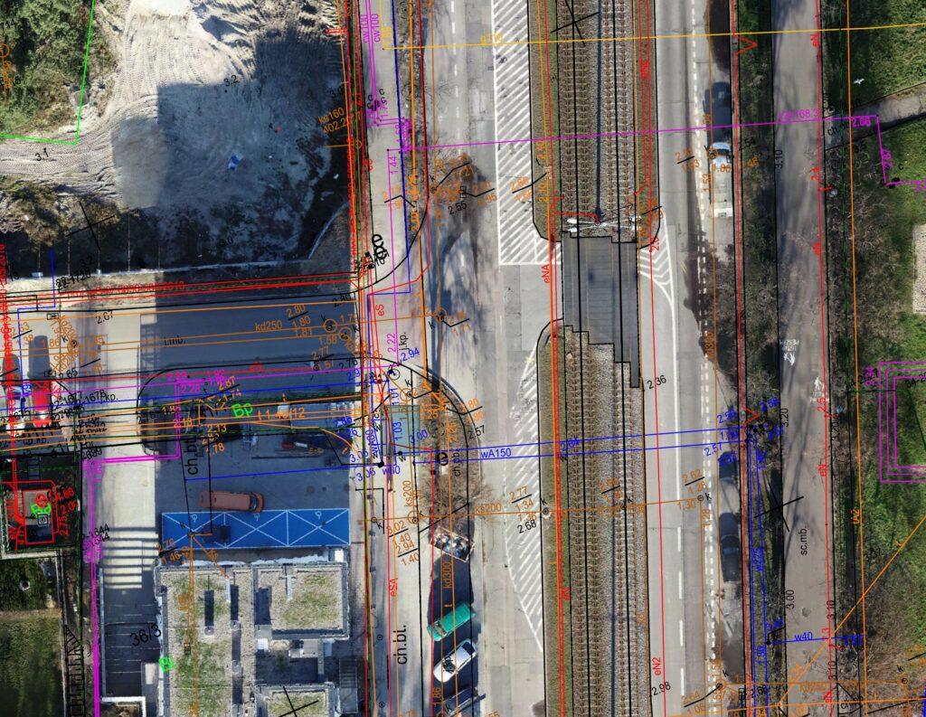
We generate precise as-built models essential for renovations, modifications, and facility management
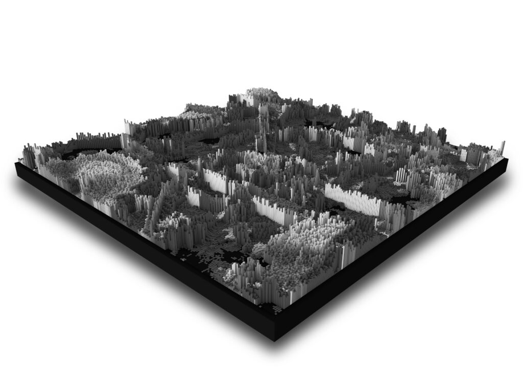
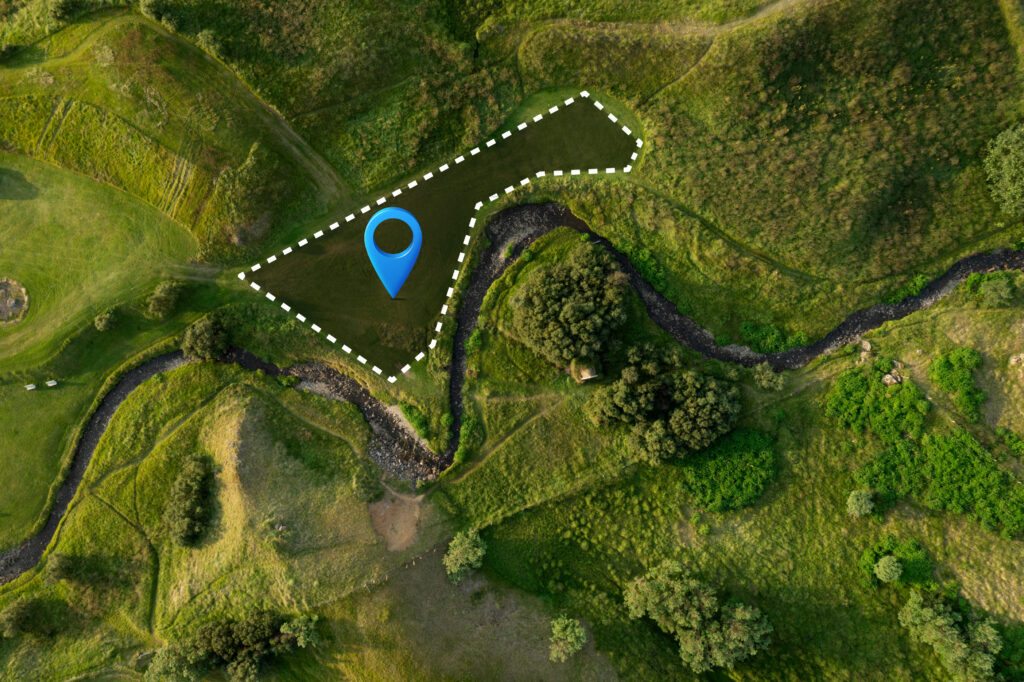
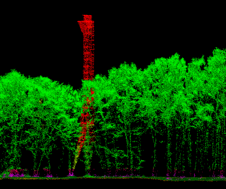
Photogrammetry allows us to create highly detailed digital elevation models (DEM) and orthophotos for engineering and environmental application
Our photogrammetry solutions assist in documenting and preserving historical buildings, monuments, and archaeological sites
The collected data seamlessly integrates into Building Information Modeling (BIM) and Geographic Information Systems (GIS) for improved design and planning