3D Laser Scanning


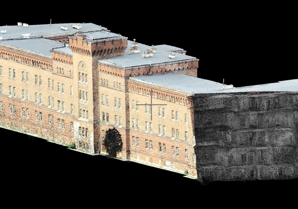
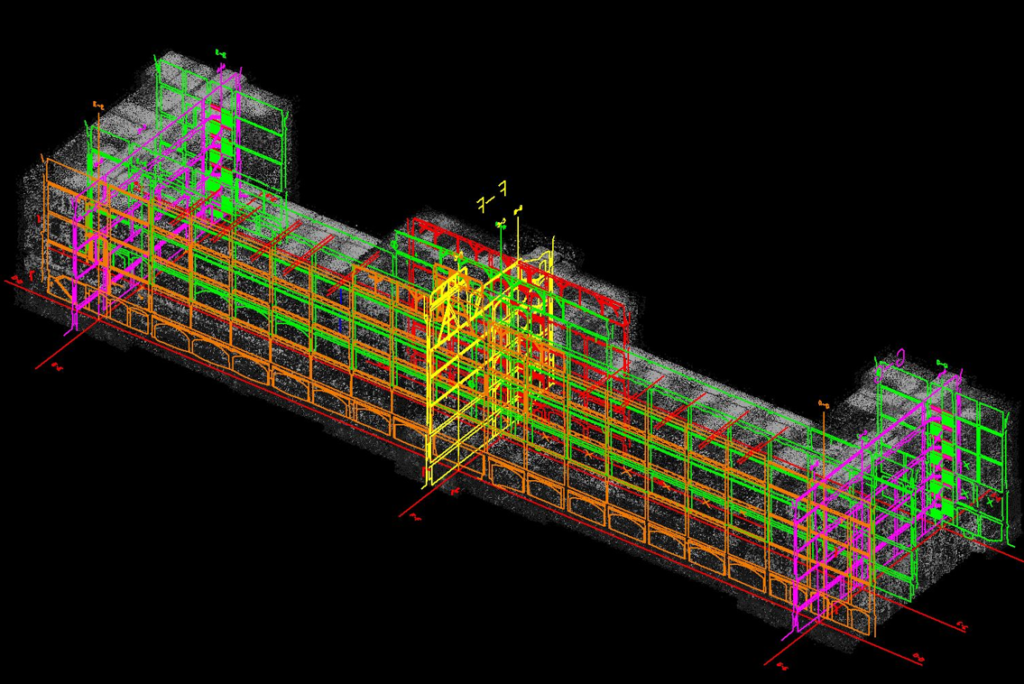
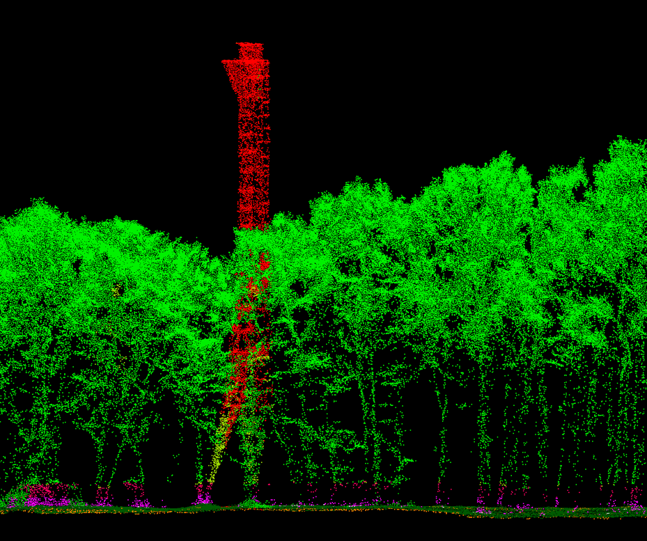
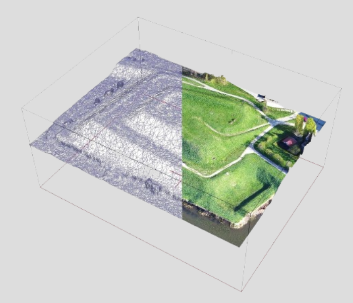
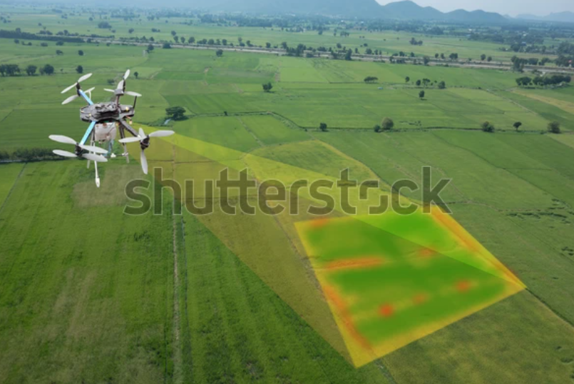
At Nordgeo Surveys, we provide advanced 3D laser scanning services, ensuring highly accurate spatial data for diverse applications. This technology enables precise digital models of buildings, infrastructure, industrial sites, and heritage structures with great detail and efficiency.

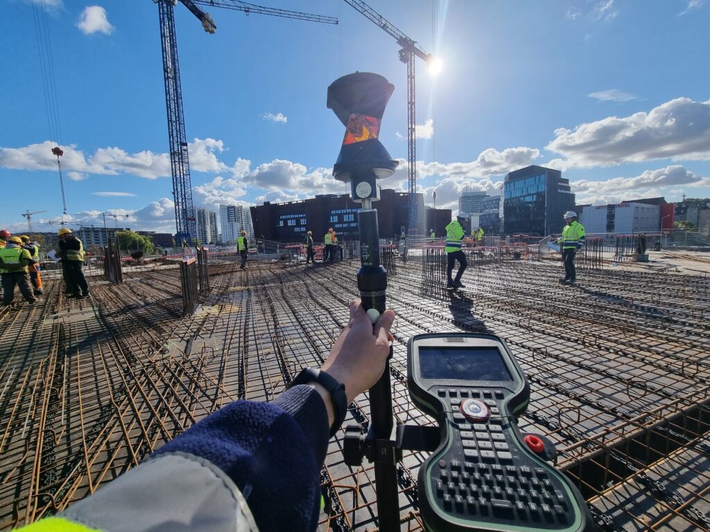
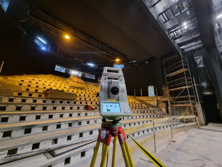
Our advanced scanning methods enable rapid data collection, minimizing on-site work while maximizing accuracy. This ensures better decision-making and enhanced project planning for our clients.

High-Precision 3D Laser Scanning for Detailed Object Documentation

Partner with Nordgeo Surveys for cutting-edge 3D laser scanning services and experience the future of geospatial data collection

Your project - our precision

What do we offer?

High-resolution 3D laser scanning captures detailed geometry and textures of structures, ensuring accurate documentation

e generate precise as-built models essential for renovations, modifications, and facility management

Our 3D scanning solutions support engineering projects by enabling precise replication and modification of existing structures

We document historical buildings and monuments with high accuracy, aiding restoration and digital archiving

The collected data seamlessly integrates into Building Information Modeling (BIM) and CAD workflows for design verification and project planning

Why choose us?

Our advanced laser scanning technology ensures highly detailed and accurate measurements

Fast data acquisition reduces project time while maintaining superior quality

Suitable for architectural, industrial, and heritage projects, among many others

Other services

Construction Sites Handling

Civil

Engineering

Photogrametry

Topographical Maps