Construction Sites Handling

Our company provides comprehensive geodetic support for construction projects, delivering precise measurements and essential documentation at every stage of the project.
With modern technologies such as 3D scanning and drone usage, we ensure the highest quality of service while reducing task completion time.

Do you need reliable geodetic support for your construction project?
Get in touch with us! We’ll gladly answer your questions and provide a customized offer to meet your needs.
Your project - our precision
What do we offer?
- Maps for Design Purposes
- On-Site Marking
- Construction Supervision
- As-Built Surveys
- Technological Support
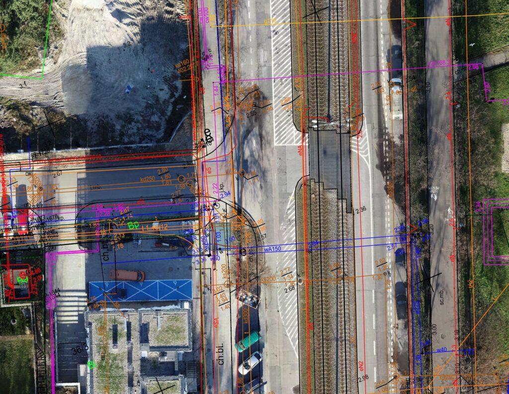
We prepare accurate maps that serve as the foundation for project development and obtaining necessary permits.
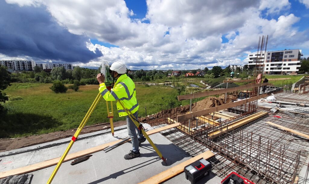
Precise marking of building axes, infrastructure elements, and other construction objects according to project specifications.
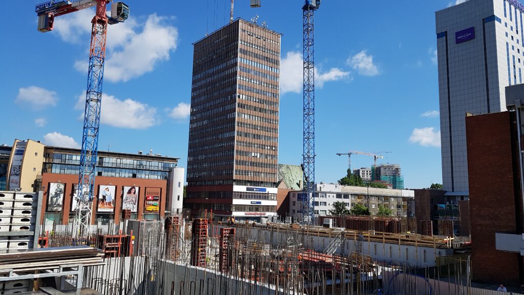
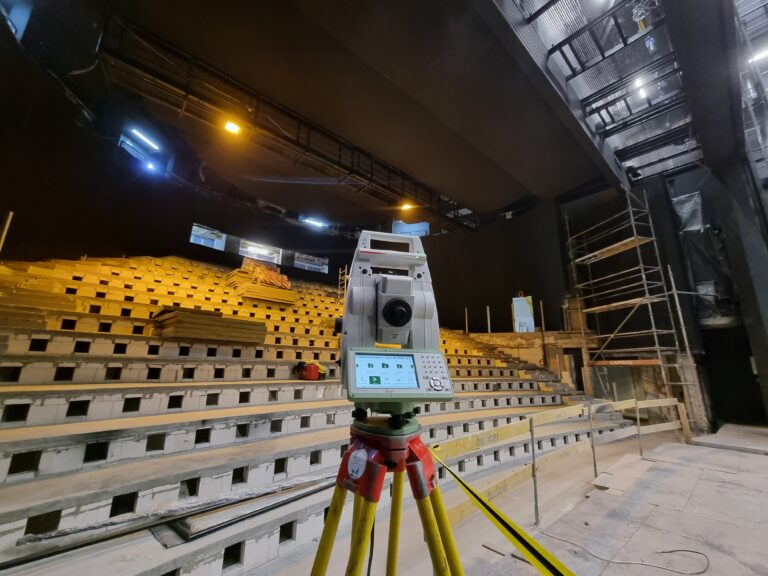
Ongoing supervision to ensure that the executed work aligns with the project, minimizing the risk of errors and delays.
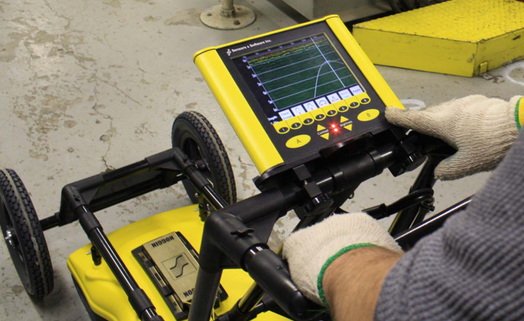
After construction is completed, we conduct detailed as-built surveys required for project handover and acceptance.
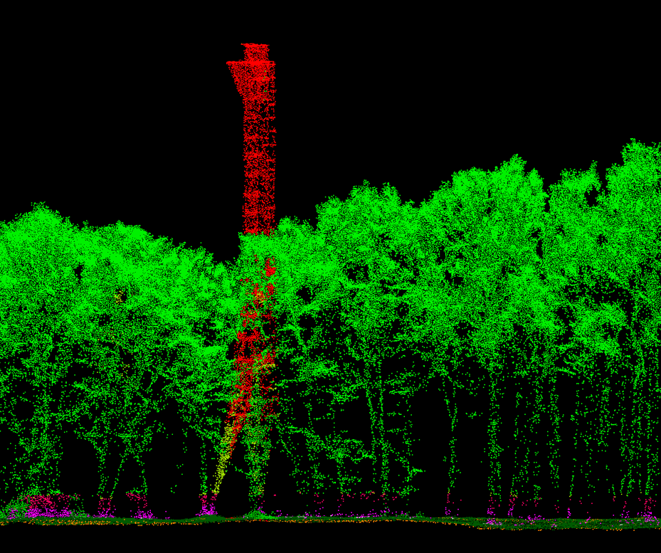
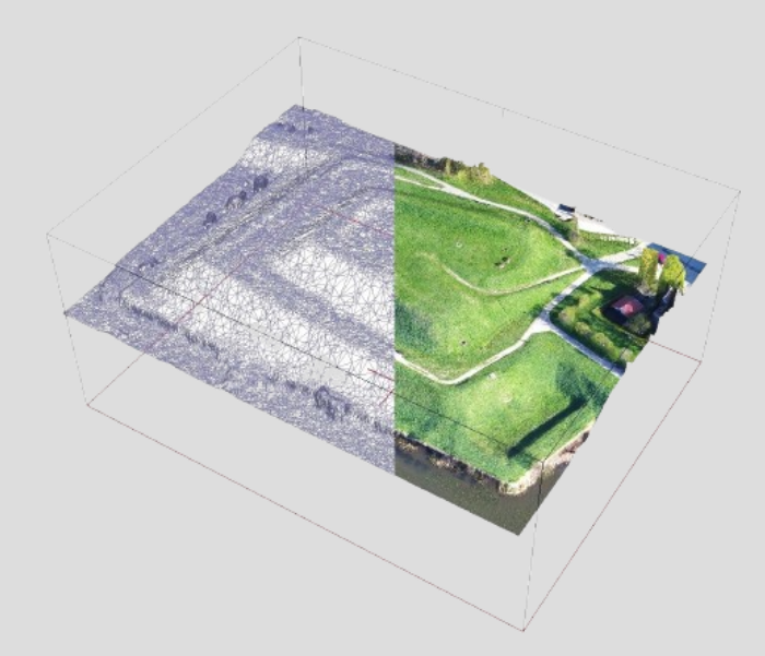
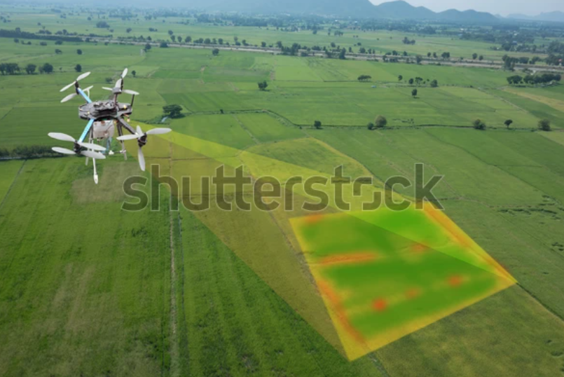
Using advanced methods such as laser scanning and photogrammetry with drones, we deliver precise spatial models and analyses that support the design and construction processes.
Why choose us?
With years of experience in construction project support, we are equipped to handle even the most demanding projects.
We invest in innovative tools that guarantee precision and save time.
Our services are adapted to the unique needs of each client, regardless of project size or scale.
Other services
Copyright 2024 | NORDGEO Surveys | All Rights Reserved