Civil engeenering

At Nordgeo Surveys, we provide comprehensive geodetic support tailored to the needs of civil engineering projects. Our expertise ensures the accuracy and reliability of data, which is critical for the success of any construction venture.

Using cutting-edge technologies such as 3D laser scanning and drone photogrammetry, we deliver precise measurements, detailed documentation, and spatial analyses that support every phase of your project.

Partner with Nordgeo Surveys for your civil engineering needs

and benefit from our precision, professionalism, and innovative solutions.

Your project - our precision

What do we offer?

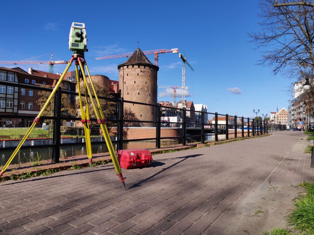
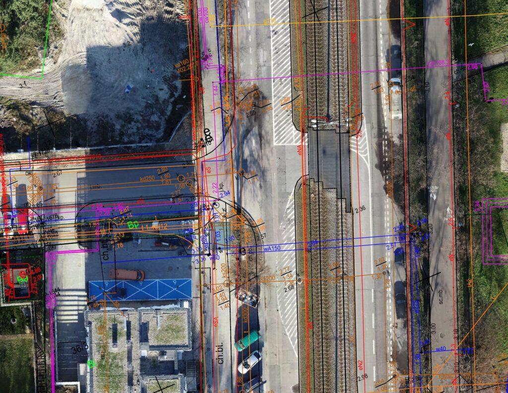
We create detailed topographic maps that serve as the foundation for design, planning, and obtaining necessary construction permits.

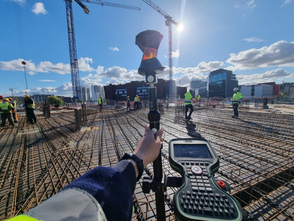
Accurate staking of building axes, infrastructure elements, and construction boundaries according to project specifications.

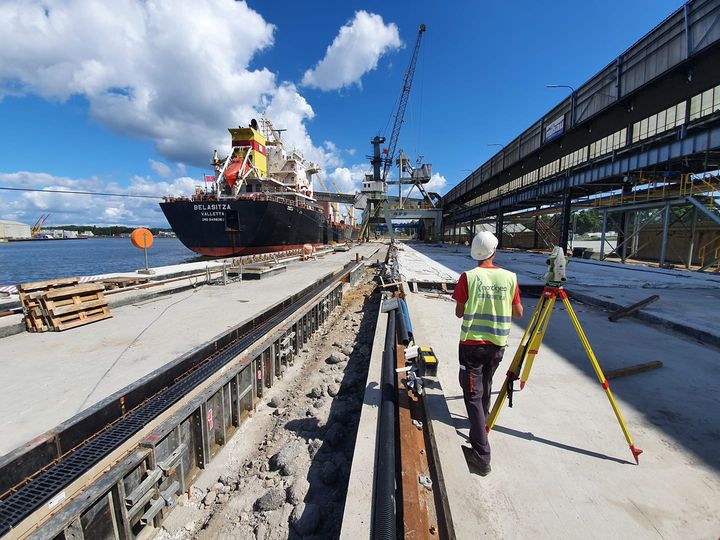
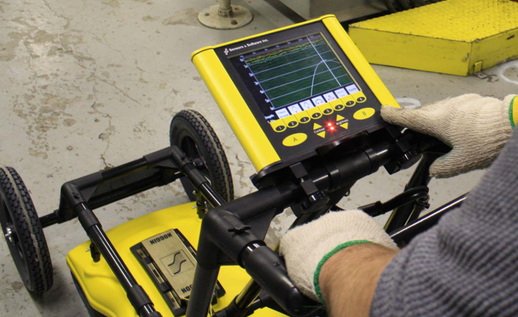
Continuous geodetic supervision to ensure construction aligns with design plans, minimizing errors and delays.

Comprehensive as-built documentation to verify completed structures, essential for project handover and regulatory compliance.

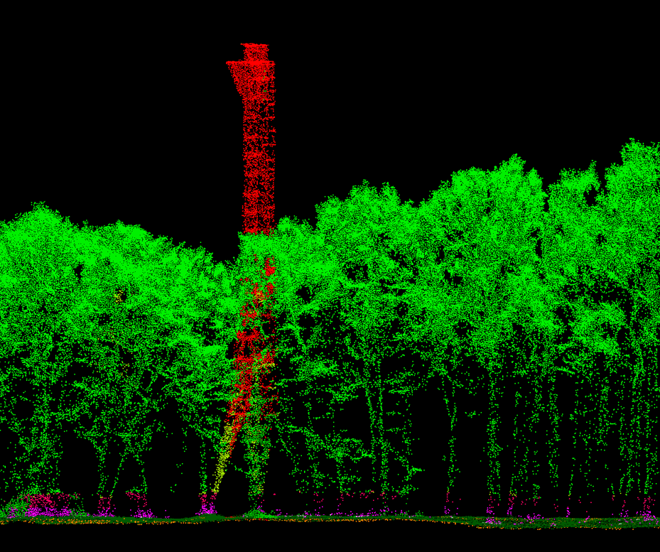
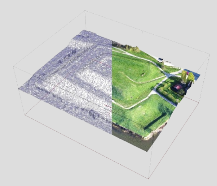
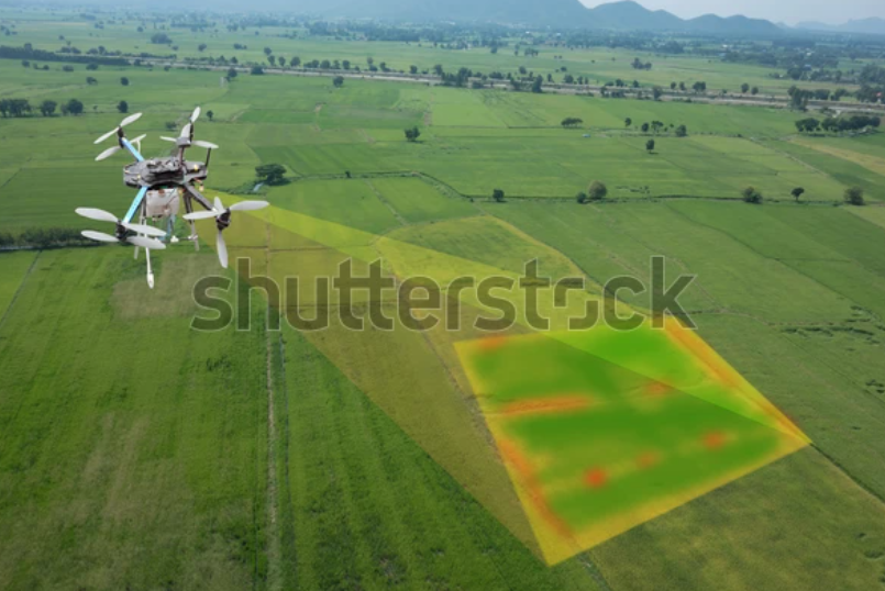
Advanced 3D laser scanning and drone-based photogrammetry provide precise spatial data for design verification, progress monitoring, and volume calculations.

Why choose us?

Over 15 years of experience in supporting complex civil engineering projects.

Utilizing the latest equipment to ensure the highest precision and efficiency.

Customized solutions tailored to meet the unique requirements of each project.

Other services

Construction Sites Handling

3D Laser Scanning

Photogrametry

Topographical Maps